2022-5-11, Metacomet Trail, Berlin, CT
On 2022-5-11, I hiked a section of the Metacomet Trail (blue blazes), and the Metacomet Loop Trail (blue-red blazes), in Berlin, CT.
This map shows where I recorded GPS Waypoints. I recorded a Waypoint each time I took a picture.

Here's a link that will take you to the interactive version of the map: https://arcg.is/1e1fD1
001. Why is a left turn indicated here?

A very nice map that the Town of Berlin must have had made.

002. Two blow-downs on the blue-red trail.

003. Painted-over blazes on what I think used to be a short blue-white trail.

004. A nice angle-iron bridge on the blue-red trail.

005. A low blow-down on the blue-red trail.

006. The blue-red trail meets the blue trail.

007. A ford on the blue trail. Not a problem on 2022-5-11.

008. This spot has gotten overgrown in the past. Not a problem as of 2022-5-11. Small poison ivy plants were visible.

009. A low blow-down.

010. Two blow-downs.

011. A blow-down.

012. A hanging blow-down.

013. At first I thought this was a blow-down on the blue trail, but I decided it was a helpful barrier to keep people from straying onto an unblazed trail that I had inadvertently strayed onto in the past.

014. The blue trail turns off of an ancient road here. This is a turn that would be easy to miss.

015. A blow-down.

016. A blow-down.

017. A partially buried blow-down.

018. This blow-down proved to be dangerous. I tried to move it and cut myself.

019. A blow-down. Do we now have more white-ash blow-downs than we have hemlock blow-downs?

020. A blow-down,.

021. I was not sure if I the upper blow-down was blocking the trail. I now think the upper blow-down was blocking what used to be the path of the Metacomet.

022. Here, there were two blow-downs blocking the trail.

023. Again, two blow-downs.

024. Another white ash blocking the trail.

025. A blow-down.

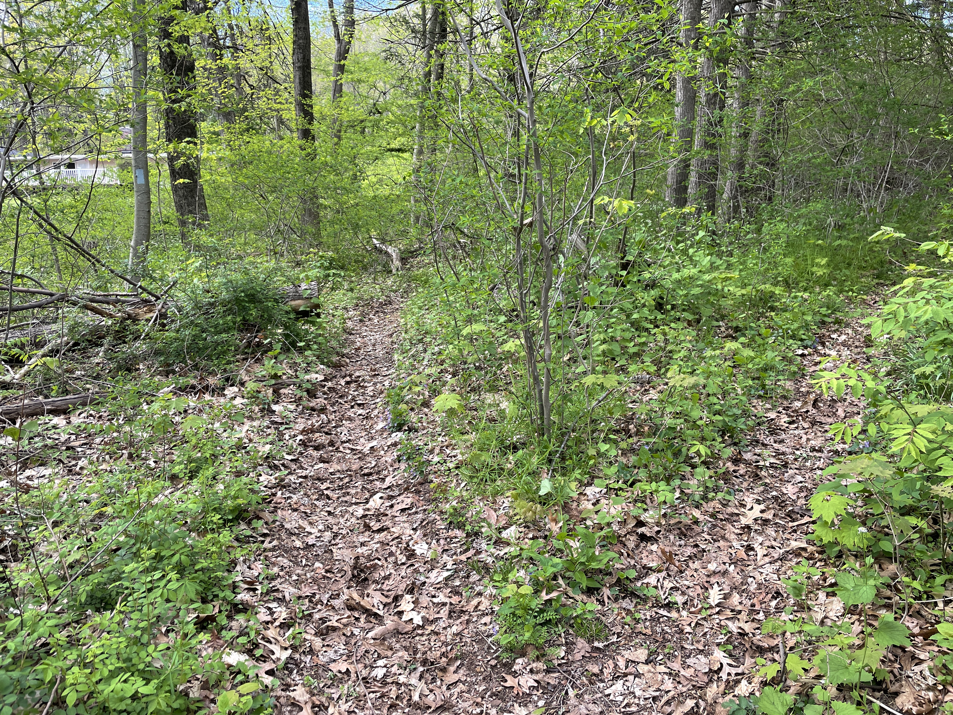
026. A maple blow-down, I think.

027. Someone placed a piece of wood with an arrow on it to mark the turn that used to be marked by a blaze on a tree that has fallen.

028. The scary ledge. It's not really as dangerous as other spots on the section of the Metacomet I hiked on 2022-5-11. I have seen people intentionally slide down the steep slope to the right of the trail in this picture.

029. This ford was no problem on 2022-5-11.

030. The path on the right goes to a trail neighbor's yard. There is no blaze telling hikers which path is the Metacomet Trail. I guess hikers figure it out pretty quickly.
031. This spot has gotten overgrown in the past. It looked fine on 2022-5-11.

032. This spot also has been overgrown in the past. No problem on 2022-5-11.

033. On the way back, I noticed one of the old blue-white blazes that was still visible.

David Reik


Comments
Post a Comment