On 2022-3-26, I visited the Lantern Ridge area in Beacon Falls, CT. I made an interactive map showing my route in pink, and the route of a group who hiked the area the previous week in blue. I'll put in location numbers based on my notes and my GPS Waypoints. Here's a link to the interactive map: https://arcg.is/PTKWb .
Here's a static screenshot of the interactive map.
1. I parked in a nice, gravel parking lot that might fit eight cars.
2. An interesting informational kiosk.
2. I actually went outside of the official Lantern Ridge Open Space boundaries. I saw no "No Trespassing" signs.
2. The kiosk displayed original art.
3. I kept going northeasterly past the sign.
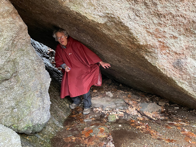
4. The area features lots of dramatic rocks.
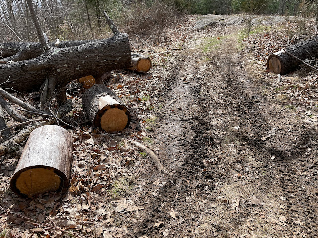
5. There was lots of evidence that someone was cutting blow-downs and that there was ATV traffic.
6 . I understand that we can see, in this view, "the lovely Beacon Heights landfill, a genuine EPA Superfund site."
7. A trail dead-ended just past this tree stand.
Near 7. The trail to the tree stand had been recently maintained.
8. This was near the top of Rock Rimmon. The trail to here was cleared, but had huge puddles. I heard thunder when I was here.
Near 9. Looking westerly from a trail in the bottom of the valley.
10. This fence was on a dike. I think the dike was built to create a temporary pond when intense rains caused a lot of run-off from a nearby housing development.
Near 1. The etched wooden sign below the green sign says, "GIRL SCOUTS TROOP 67821 Lantern Ridge Stewards."
Near 1. This is the sign at the entrance to the parking area.


Comments
Post a Comment