2021-9-21, Ketchin Quarry, Simsbury, CT

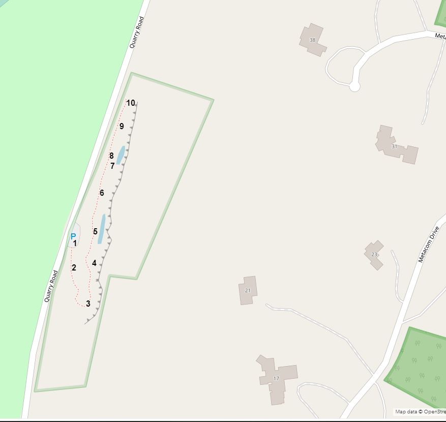
On 2021-9-21, I visited the Ketchin Quarry preserve, a Simsbury Land Conservation Trust property.  I made an interactive map with approximate location numbers.   Here's a link to the interactive map: https://arcg.is/1a9uOP .  Below is a static screenshot of the interactive map.


1. 


2.

3.  A rock (about one foot long) lying on the quarry path.


4.


4.


4.  I found this shell on a ledge next to where I was standing in the picture.


4.  The underside of the shell.  Those latitude and longitude numbers equate to 41.895417, -72.775 in decimal degrees, a point 178 feet north of where I found the shell.


4.  A close-up of the rock near where I was standing.  Note the thin, flaky layers.  Do other kinds of brownstone have these flaky layers?


5.


5.


6.


7.


8.


9.  Here you can see one of several stagnant pools of water between the base of the quarry cliffs and the path.  The pools may be the source of the abundant mosquitoes in the area.


10.


David Reik 

Comments

Popular posts from this blog

2022-6-5, Metacomet Trail, East Granby, CT.

2022-6-3, Lake Compounce Area Trails, Southington, CT

2020-8-2, Highlawn Forest, Middletown, CT