2021-4-6, American Legion State Forest, Barkhamsted, CT

 On 2021-4-6, I went back to the American Legion State Forest in Barkhamsted.  Here's a link to an interactive map that shows location numbers that I will refer to: https://arcg.is/1Wmq1f .  I'll put in a static screenshot of the interactive map.


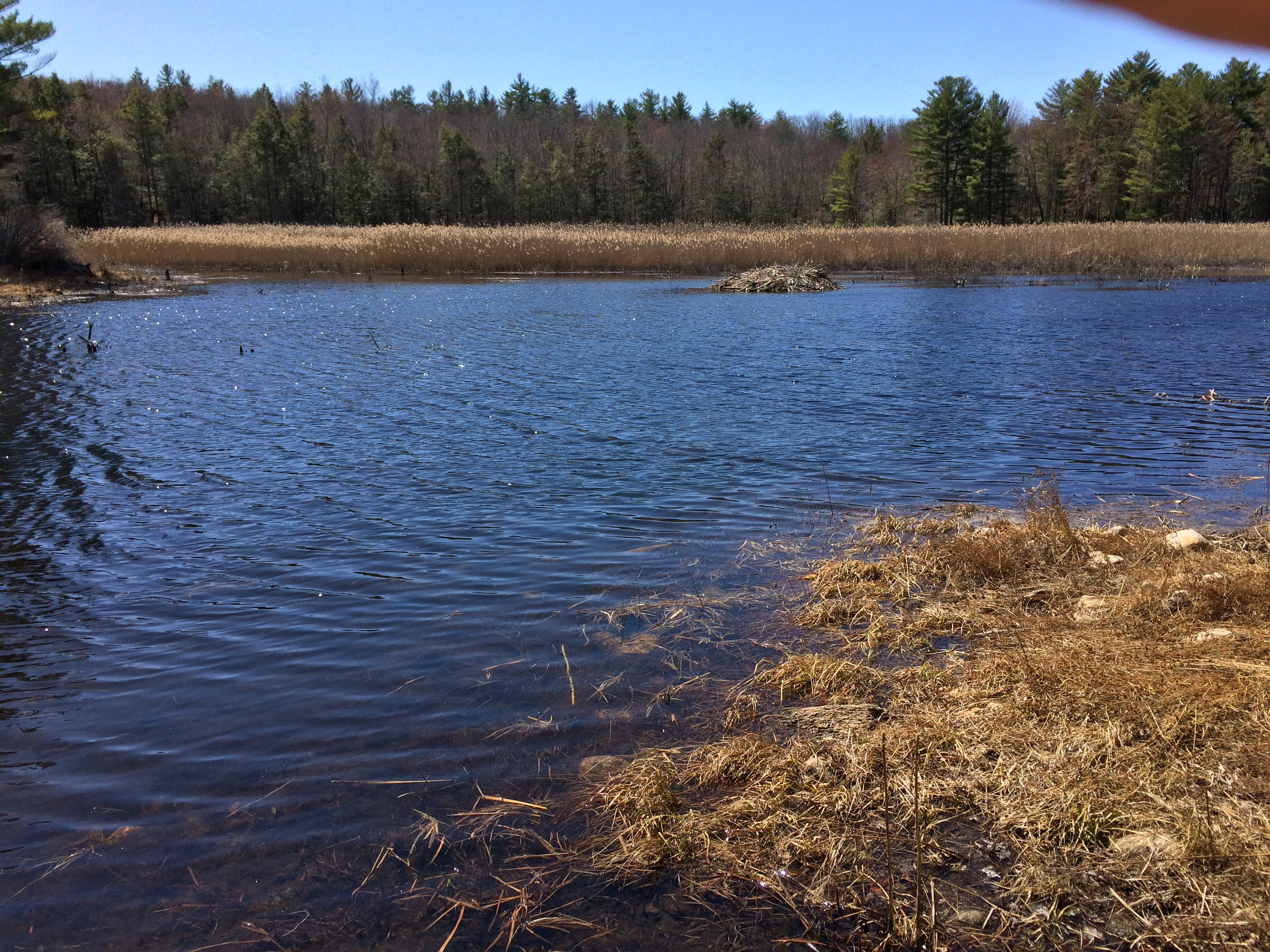
I walked up Legion Road, over the beaver dam to the end of Legion Road and onto a path going westerly.  I went back to the mill ruins that I had recently visited.  

1.  Mill Ruins.  Below is a detail map I made of the mill ruins.  The rectangle to the southwest of the mill ruins is what I thought were the remains of a low dam.  I thought there may have been a wooden trough that took water from the dam, over the top of the mill, to a waterwheel.


1.  At the top of the waterfall.


1.  Looking at the dam remains from the eastern end of the remains.


1.  Looking easterly from the western end of the dam remains.


1.  Looking to the northeast down towards the mill ruins from where the eastern end of where the dam may have once been.


1.  The camera is looking southwesterly towards the mill ruins and the waterfall.


1.  Again, looking southwesterly towards the mill ruins and the waterfall.


2.   One of several beaver ponds near here.   I found, on my way back, that I was on property whose owner has posted No Trespassing.


2.


3.  I walked back down Legion Road, through what used to be Camp White Civilian, a Conservation Corp camp, past a pump and onto the Henry Buck Trail.  I am not sure what the plant is that is pictured here, but I think it may be red elder, Sambucus racemosa.


3.


3.  This plant was next to the plant in the last two pictures.  It looks like it's the same species.


3.


3.


4.  Someone speculated that boxes for cheese may have been manufactured at the mill that was once here.  Again, I think the water that powered the waterwheel must have come from a dam in an elevated wooden trough.  There are dam remains 270 feet to the northwest of the mill ruins.


5.  No picture, the location of the dam remains.

6.  It's a little scary walking along this side-hilled section of the Henry Buck Trail.


7.  It looked like you could swim from here.


7.  I tried online, unsuccessfully, to find what longitude and latitude the U.S. Geological Survey has assigned to this benchmark which was embedded in the rock I am standing on in the picture.


3.  On way back to where I parked, as I was leaving the Henry Buck Trail, I noticed this small flowering plant.  I think it's Carolina Spring-Beauty, Claytonia caroliniana.


3.


3.


3.


8.  There is a youth-group camping area here now.


David Reik

Comments

Popular posts from this blog

2022-6-5, Metacomet Trail, East Granby, CT.

2022-6-3, Lake Compounce Area Trails, Southington, CT

2020-8-2, Highlawn Forest, Middletown, CT