2021-4-3, American Legion State Forest, Barkhamsted, CT
On 2021-4-3, I visited American Legion State Forest in Barkhamsted, CT. I made an interactive map with location numbers that I will refer to. Here's a static screenshot of the interactive map.
1. I parked at 1, next to the entrance to what is now a campground and what was once a Civilian Conservation Corps camp.
2. I explored some spur trails which apparently had been used for timber harvest projects. I took pictures of a shrub near where a spur trail became overgrown with saplings. I think the shrub is a hobblebush, scientific name Viburnum lantanoides.
3. I explored several other similar spur trails that petered out. I continued up Legion road. At 3, I walked along a beaver dam. The beaver dam is on top of the road.
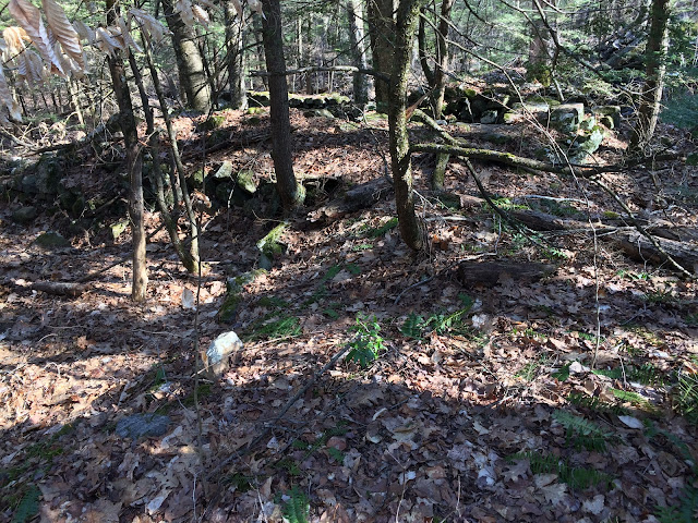
4. I walked to the end of Legion Road and onto a trail that went westerly. At 4, I left the trail to explore what appeared to be an ancient mill site. Below is a map showing where my mill-related pictures were taken.
4a. Looking easterly into the ruins.
6. A trail here also continued.
7. I'm at the end of the Turkey Vulture Ledges Blue Trail. The camera is looking southeasterly. Above my head is Ski Sundown. The Lansford Perry Tower is visible to the left of Ski Sundown. A short stretch of the Farmington River can be seen.
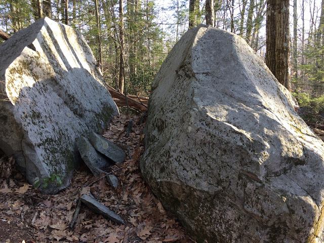
8. A split boulder along the Turkey Vulture Ledges Blue Trail. Is this gneiss? I don't see any layers, so maybe it's some other type of rock.
David Reik


Comments
Post a Comment