2021-4-20, Paugussett State Forest, Lower Block, Newtown, CT
On 2021-4-10, 2021-4-17, and 2021-4-20, I visited Paugussett State Forest, Lower Block, in Newtown, CT. Below should appear a map I made with location numbers that I'll refer to. Here's a link to an interactive version of the same map: https://arcg.is/1e90K80 .

First, I'll address where you can park.
1. Russett Road, Newtown, 41.418165,-73.223516. There were maybe ten cars parked near here when I visited on 2021-4-20. I broke in on a group of Connecticut Department of Energy and Environmental Protection employees showing a group of New England Mountain Bike Association members that the existing trailhead on Russett Road was not within the official Town of Newtown trail easement. The CT-DEEP .pdf map shows the trailhead as being where I found it. Here's the link to the CT-DEEP .pdf map: https://portal.ct.gov/-/media/DEEP/stateparks/maps/PaugussettSouthpdf.pdf .
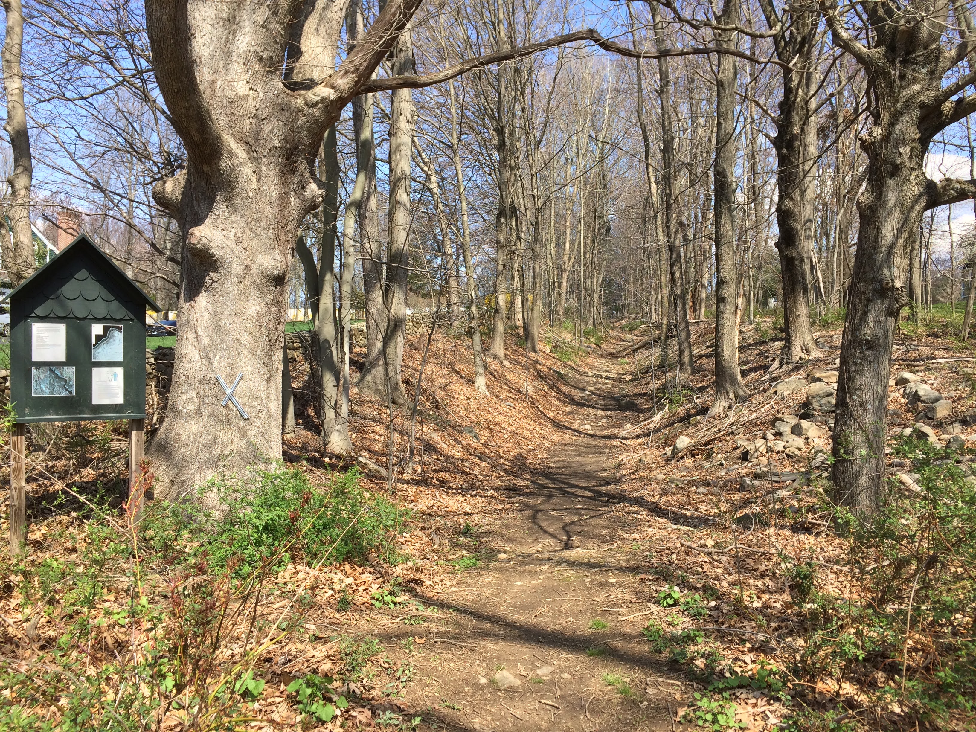
2. Charter Ridge Drive, Newtown, 41.411917,-73.227829. You could park here and walk into the State Forest on a path that uses an unmaintained Town of Newtown road. The path was established by a Boy Scout. There is a map kiosk at the trailhead. Below is a picture of the trailhead.
3. I parked here, in the turning circle at the eastern end of Leopard Drive, on 2021-4-20.
4. On at least one Appalachian Mountain Club hike I attended, we parked near 4, on the cul-de-sac that goes southerly off Paugussett Road, Forest View Drive, 41.396175,-73.209067.
5. I parked here on 2021-4-10. There is an official CT-DEEP parking area that could fit five cars or so. To get to the parking area, you have to drive to the north end of a road called Stone Bridge Trail. The northern half of the road is unpaved and only one-car-width wide. The junction of route CT-34 and Stone Bridge Trail is at 41.386005,-73.206499.
6. There is an official CT-DEEP parking area here where a CT-DEEP gravel road meets Great Quarter Road, 41.401145,-73.193052. As I recall about four cars could park here.
7. Here, at the northern end of Great Quarter Road, is another CT-DEEP parking area. I parked on the western side of Great Quarter Road, about 100 yards south of the parking area, on 2021-4-17. A total of maybe twenty cars could park in the parking area and roadside.
8. On 2021-4-17, I noticed my first Red Trillium flower, Trillium erectum.

9. Here, on 2021-4-17, I visited a set of waterfalls and cascades on Prydden Brook. Below is a photo I took near the top of the set of waterfalls and cascades.


10. The bridge here on the Zoar Blue Trail was a single log with wire mesh attached to the log's flattened top. I made it across with trepidation.

11. Along the southern side of Prydden Brook, there is an unblazed, not-completely-cleared trail. This is one of two waterfalls along the unblazed trail.

12. The other waterfall along the unblazed trail.

13. An ancient well on one of several unblazed trails in the western part of the Forest that use old roads. Near here, I saw a charcoal hearth. LIDAR reveals numerous other charcoal hearths in the area. Charcoal hearths are flattened circular areas about thirty feet in diameter where, probably more than 100 years ago, carefully constructed mounds of wood were made and caused to smolder into charcoal.

14. A bridge on the unblazed trail that leads to Russett Road.

15. There were maybe ten of these "Newtown Trail Easement" posts near here. The trail follows the posts until the trail gets within about 100 yards of Russett Road, where the trail veers to north. The official easement follows the boundaries between tracts of private property and, according to the CT-DEEP employees, is supposed to be ten feet wide.

16. I saw these flowers on 2021-4-17. My identification: Round-leaved Violet, Viola rotundifolia.


17. A view of Lake Zoar through the trees.

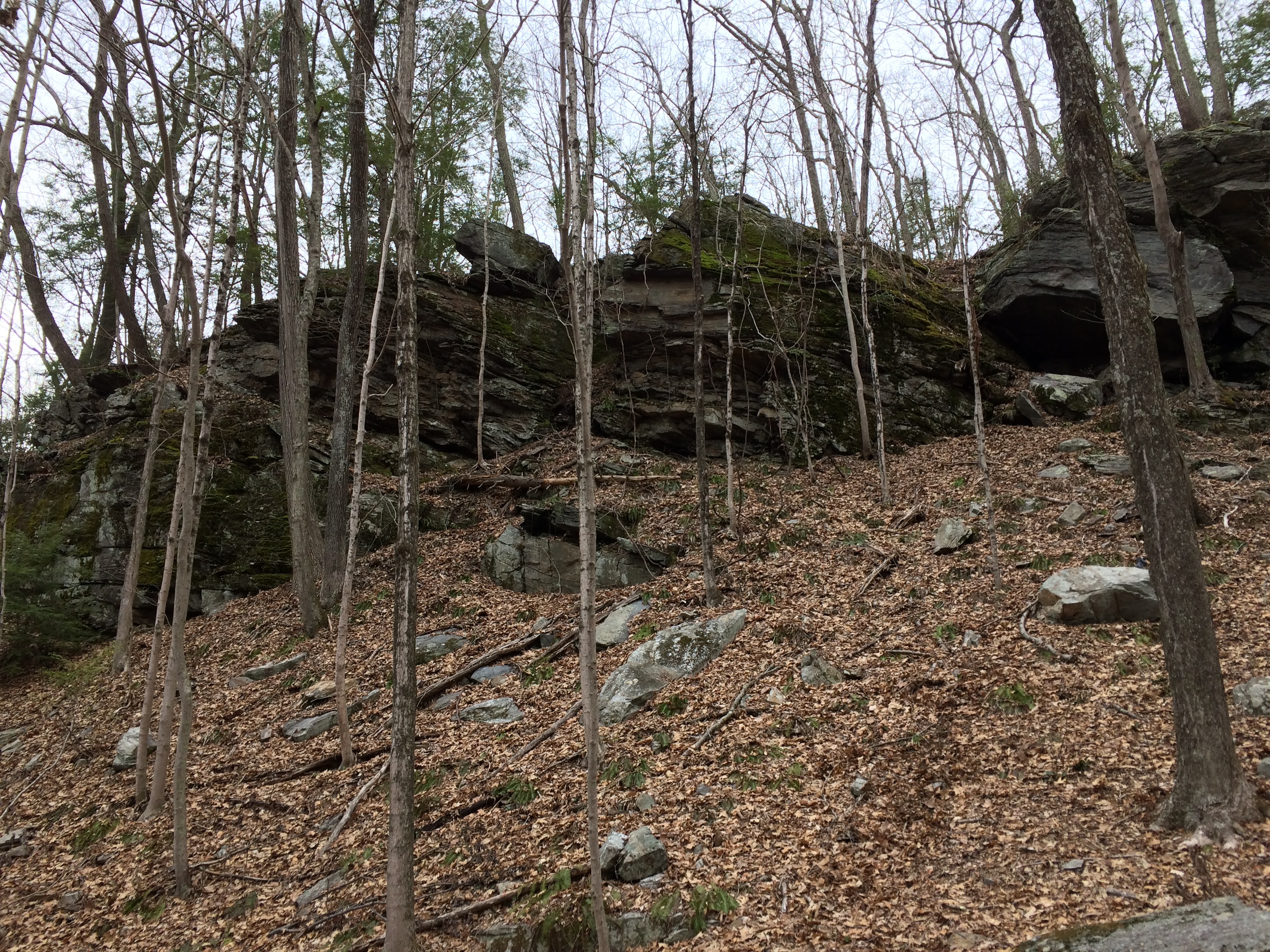
18. Proof that not only basalt tends to break into rectangular cuboids.

19. When I walked down the blue-yellow trail to Paugussett Road on 2021-4-10, I noticed that a lot of blow-down clearing had recently been done.


20. It appeared to me, when I visited on 2021-4-10, that the blue-yellow trail here had been forgotten by maintainers.

20. An ancient turn blaze on this blue-yellow trail near where the trail meets Great Quarter Road.

21. I took this picture on 2021-4-17 as I was returning on the Zoar Blue Trail to where I parked.
22. On my 2021-4-10 visit, I started to explore some unblazed trails apparently created by mountain bikers. I gave up trying to map the mountain bike trails because I realized it would take too much time.
23. The trail here appeared to be mostly an old road and, although the trail appears on the CT-DEEP pdf map as an unblazed trail, I found some red blazes.
24. This is the northwestern end of a gravel road. The road becomes a footpath north of here.
25. This is a mountain bike trail that goes off the gravel road. There is a barely visible path connecting the mountain bike trail with the Zoar Blue Trail approximately where the CT-DEEP .pdf map shows a connection between the Zoar Blue Trail and the gravel road.
Here's a link to another interactive map I made: https://arcg.is/10PivK . This map has no location numbers, but, with some clever clicking in the upper left, you can turn on several layers including contour lines, aerial imagery, LIDAR, and historical USGS maps. The earliest historical USGS map, from 1889, shows Stone Bridge Trail, the road that I parked at the end of on my 2021-4-10 visit.
David Reik


Comments
Post a Comment