On 2021-3 28, I hiked a section of the Metacomet Trail in Berlin and Southington, and a section of the Metacomet Blue-Red Loop Trail in Berlin. I decided to record the locations of various trail issues I encountered. I recorded GPS Waypoints with my Garmin. I made an interactive map on which I display the Waypoints. Here's a link to the interactive map where you can zoom in and out, pan around, and turn various layers off and on: https://arcg.is/0fC95e . Below is a static screenshot of the interactive map.
001. A blow-down on the Blue-Red Trail.
002. Apparently, there was a major blow-down here on the Blue-Red Trail that damaged the bridge. Someone has done a lot of work to cut up the blow-down and repair the bridge.
003. A low blow-down on the Blue-Red Trail. I think it's best to remove even low blow-downs because send a message that hikers who encounter the blow-down have gone the wrong way. A cut blow-down sends a message to hikers that the hikers are on the trail.
004. Here, I was on the Metacomet Trail.
005. I found this stream crossing to be a challenge.
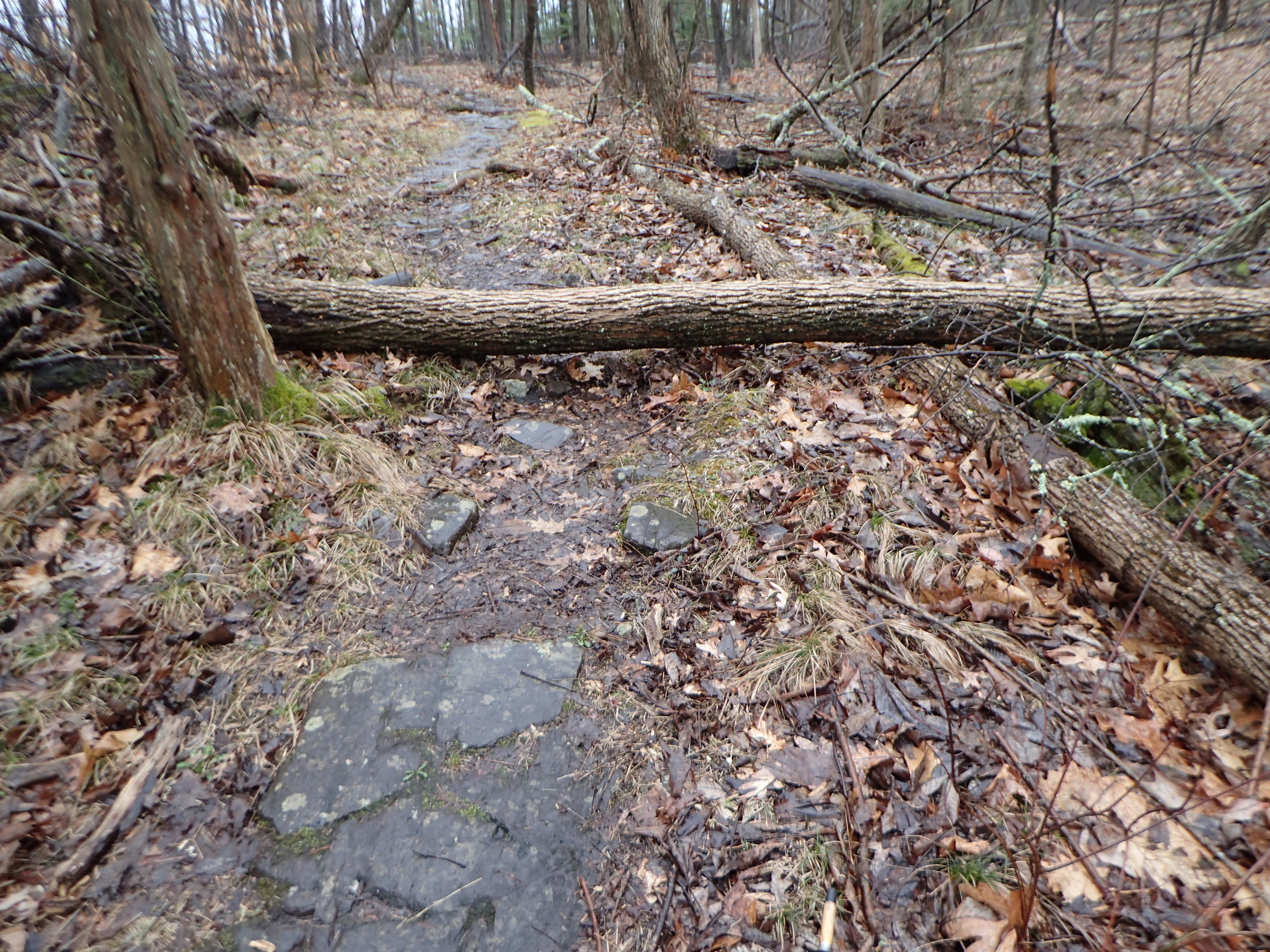
006.
007.
008.
009. Although I have walked this trail many times, I missed the turn out of the eroded, sunken old road up onto higher ground. Maybe a log across the sunken road with a left-turn blaze on it would be good.
010.
011. A tree leaning into the trail. I would not know how to safely remove this tree.
012.
013. Here, the trail split, but I could not see a blaze in either direction.
014.
015. Two blow-downs.
016. Again, two blow-downs.
017. Two more blow-downs.
018. Several blow-downs.
019. Two blow-downs.
020. Several blow-downs.
021.
022.
023. The blow-down in this picture is not actually obstructing the Metacomet Trail --- the blow-down is just after where the Metacomet turns to the left and goes down a scary ledge. There was a new turn blaze on the tree that fell.
024. Here, I was on my way to the scary ledge. The only time I have really had a problem with the scary ledge was when it was covered with wet ice last year during a Tom Ebersold-led hike.
025.
026.
027. A low blow-down and a leaning blow-down that would be hard to safely remove.
028.
Here's a screenshot of the map that shows Waypoint 029.
029. Where the Metacomet meets Millbrook Lane. People have done a lot of work to make the trail easier to follow here. A lot of brush has been cut. I think the No Parking sign with a blaze on it must have been put in by the Connecticut Forest and Park Association. Millbrook Lane is a narrow, private road. I don't believe you can park anywhere on the road.
030. On my way back, I took a picture here to show the old mill dam. I was standing in what was the mill race that took water from the dam to the waterwheel.
030. I think the stones in the upper left are the remains of the mill.
031. The trail splits but I could see no blazes. In the other direction, a blaze makes clear that the trail is the trail on the right in this picture, the trail closer to the cliff.
032. Another place where the trail split but I couldn't see a blaze which would show me which way the trail went.
033. An intermittent waterfall off the trail.


Comments
Post a Comment