On 2020-11-14, Bill Shortell and I hiked the new northern-most three miles of the Quinnipiac Trail mostly in Prospect, CT. Here's a link to an interactive map I made with location numbers that show where the pictures below were taken, as recorded by our iPhones. http://arcg.is/00491G0 . Below is a static screenshot of the interactive map.
1. This was posted near where we parked in the turnaround at the end of Boardman Drive in Prospect. This map only shows the Prospect Land Trust trails in Kathan Woods, the preserve that the Quinnipiac Trail now ends in, as you hike northerly ---- the new Quinnipiac Trail route is not shown.
2. Bill Shortell wandering around in what looked like a center-chimney cellar hole.
3. We saw lots of steel (or are they iron?) culverts on South Central Connecticut Regional Water Authority land.
4. A cell tower.
5. More steel culverts.
6. Bill thought this looked like bottles left for the milk man.
7. These maps were posted at several places on South Central Connecticut Regional Water Authority land. I guess, at least in October, there was deer hunting on Regional Water Authority land.
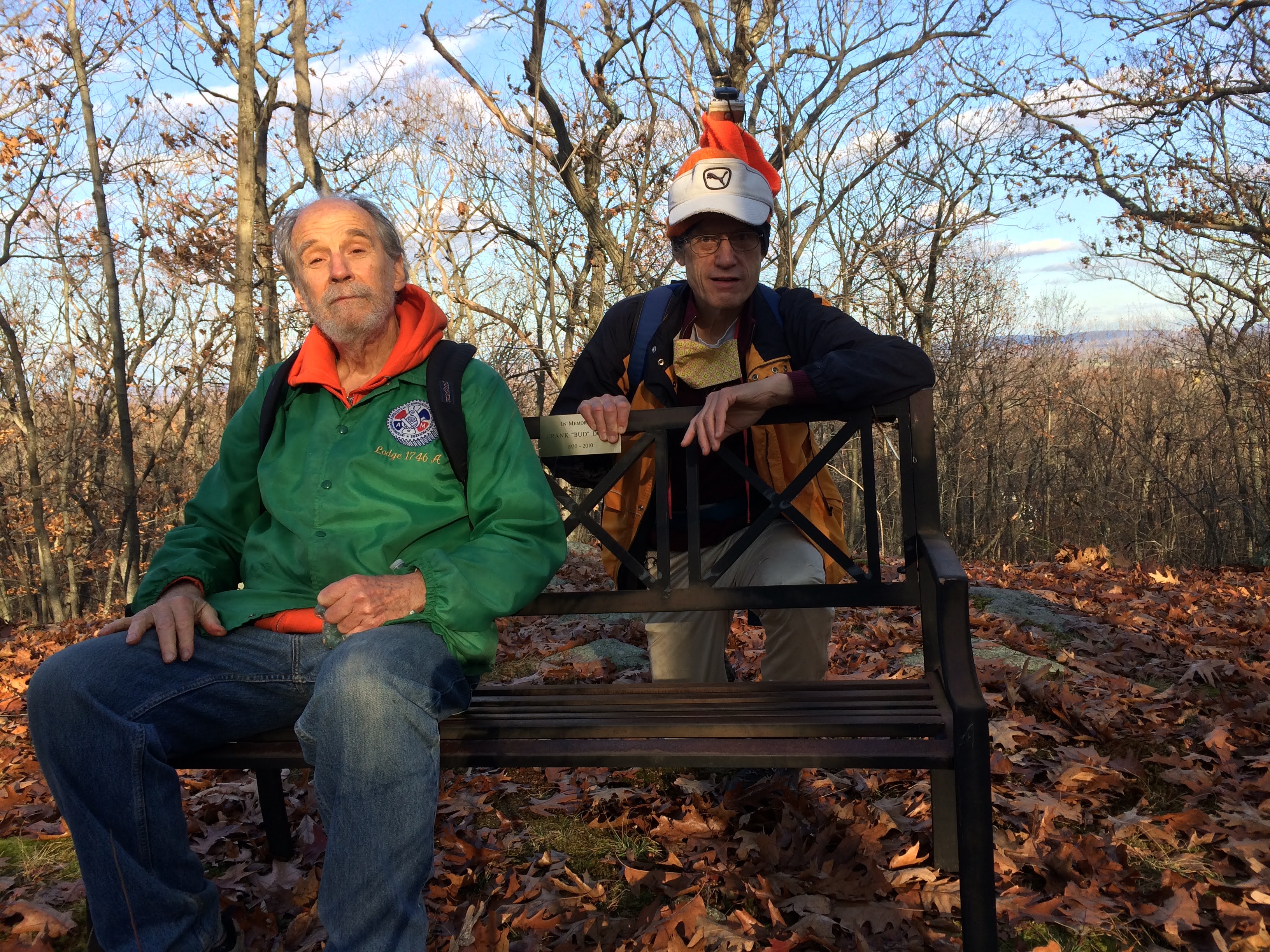
8. We're on a Prospect Land Trust bench near a highpoint.
Here's a picture Bill took somewhere along our route. The green and white plant is Chimaphila maculata, spotted wintergreen.
David Reik


Comments
Post a Comment