On 2020-8-26, I went back to the Tunxis Blue-White-Dot Trail to inspect the sections I did not get to on 2020-8-25. I'll put in a map with location numbers to show where these pictures were taken.
Here's a screenshot of the northern section of the map.
Here's a screenshot of the southern section of the map.
Here's a link to the interactive map where you can pan around, and zoom in and out.
http://arcg.is/ne1Gr
1. This was between the parking and the gate at the north end of Blueberry Hill Road. Maybe the blowdown was dragged here to discourage ATVs.
2. A little overgrown near here.
3. 12-inch blowdown 16 inches high.
4. 12-inch blowdown 20 inches high.
5. It looked like someone did a lot of chainsaw work here within the last two weeks. Update: Tom Burkholder and Ellie Pelletier did the clearing ---- a tricky job because of the height of the branches.
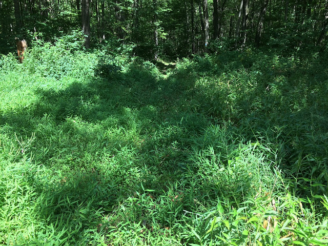
6. A bit overgrown near here.
6. A large healthy looking hemlock tree, despite the woolly adelgid.
7. The whole field had been mown fairly recently, as well as a path up to Johnnycake Mountain Road.
8. Can you see the elderly blaze on the tree in the center of the picture?
9. Another old-looking blaze.
8. Now, I'm on my way back. I researched this windmill. Koenders is the brand name of this windmill. The windmill is for pumping air to the bottom of a pond to keep the pond cleaner.
8. In the area near 8, the trail appeared to have shifted from where the trail was when the path of the trail was most recently recorded for the Connecticut Forest and Park Association online map. In the screenshot below, the pink line is my track from 2020-8-26 overlaid on a screenshot of the CFPA online map.
10. Not too bad, but a little overgrown. At least you could find the path.
11. I got back to my car and drove south on Blueberry Hill Road to walk the stretch of the Tunxis Blue-White-Dot Trail southerly to where the trail becomes a road walk again. This is the ford that Bob did a lot of work on a few years ago as the sun was setting in the Fall. When the water is higher, a giant step is required to get from one high rock to the high rock on the other side of this stream which comes out of a reservoir.
12. It's hard to make out, but this is the Steven Graves cellar hole. You can see the center-chimney base and the top of the western cellar wall. I remembered this as being less filled-in. I could not find the well that I had found on a previous trip.
12. I mis-remembered. Here's a picture from December of 2015.
12. Here's a 2015 picture of the well. In my 2015 caption, I said the well was about 50 feet to the northeast of the cellar hole. There's a fresh blowdown in that area now.
13. 12-inch blowdown 80 inches high. I had no problem walking under this, although, in a few months, it will probably be lower.
14. This is the northern end of a problem stretch of the Tunxis Blue-White-Dot Trail. The stretch is only about 200 feet long.
14. I turned around about 20 feet into the stretch because of poison ivy.
14. The whole stretch appeared to be clear of large blowdowns, but overgrown.
14. The blue line represents the approximate path of the problem stretch.


Comments
Post a Comment