2020-7-26, Tanager Woods, Penwood State Park, Simsbury, CT
On 2020-7-26, I hiked a 6.6-mile route in the Simsbury Land Trust Tanager Woods preserve, and Penwood State Park. Here's a link to an interactive map I made showing my route and where my pictures were taken: http://arcg.is/0TKW9q . I'll put in location numbers to show where the pictures below were taken.

2. It looks like wooden poles were replaced with metal poles.

2. The old wooden poles and assorted stuff to do with power lines.

3. This mushroom along an obscure white-blazed trail was about three-quarters-of-an-inch high.

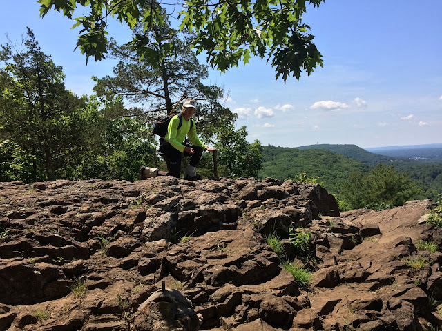
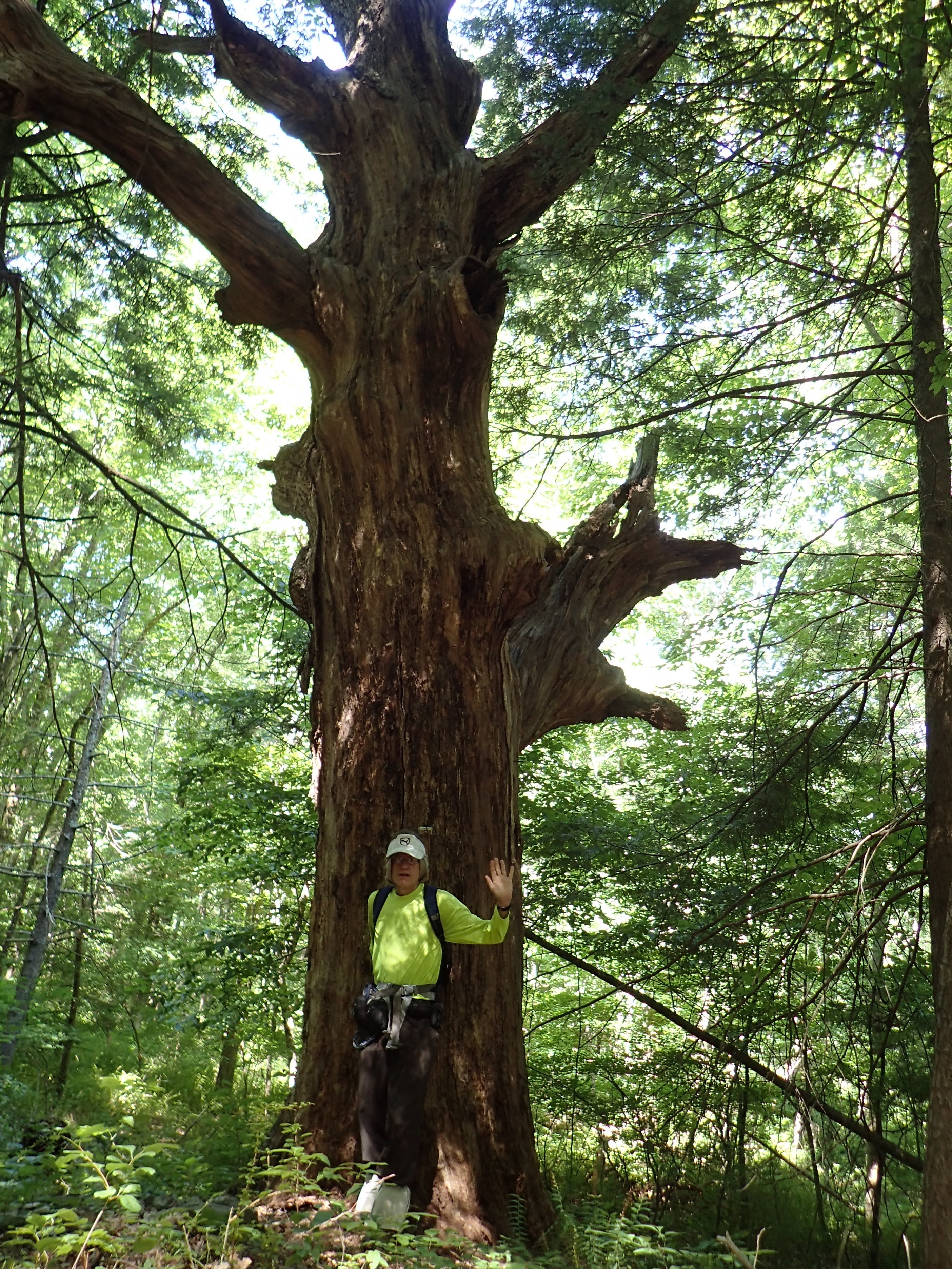
4. A big dead tree (white oak?) where the white trail turns from northerly to easterly. Another even more obscure trail branches off to the northwest.

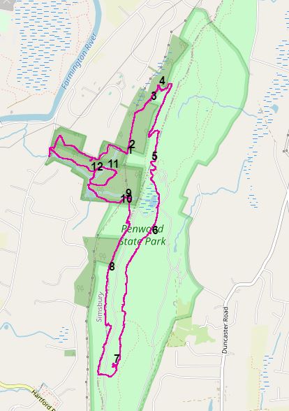
5. On the Metacomet Trail. I am at a viewpoint called "The Pinnacle." Curtis Veeder, the owner of the property before the property became Penwood State Park, had steel stakes put up at various points that he had determined the longitude and latitude of using astronomical surveying equipment.
6. Another Curtis Veeder stake, this one on a stone platform about five feet high.

7. I followed an unblazed path off the Metacomet Trail that led to this Curtis Veeder stake that I had not seen before.

8. Another Curtis Veeder stake, this one on the Penwood State Park yellow-blazed trail.

9. I don't how many people turn around when they see these signs. If I heard work in process, I'd be wary about proceeding.

10.


12. This Simsbury Land Trust-maintained path has received some recent attention. A trench has been built, or rebuilt, on the uphill side and culverts put in, or cleaned out. I think this is technology used all over the world on gravel roads.

Here's a static screen shot of the interactive map.

1. Work is ongoing in the power cut. Note the heavy timbers that have been put down to allow heavy equipment to get through without sinking into the soil. I didn't hear any work going on, so I proceeded on my route, shown in pink on the interactive map.


11. This was along one of the nicely mown paths in Tanager Woods. I think this rosette of foliage is the result of Goldenrod Bunch Gall Midge, Rhopalomyia solidaginis. The midge causes the goldenrod to produce plant tissue that is somehow of use to the midge, I think.


If you have a GPS device onto which you can load .gpx tracks, here's a link from which you can download a track of the route I used: https://ridewithgps.com/routes/33535612
David Reik


awesome photos and narrative, as usual!
ReplyDelete