On 2020-6-26, I explored Ayers Gap Preserve in Franklin, CT. The preserve is owned by The Nature Conservancy. Below is a link to an interactive map showing my route. I put in location numbers to show where the pictures below were taken.
I'll put in a static screenshot of the interactive map.
1. This was near where I parked in a paved pull-off on the northern side of CT-207. The top line of the sign should read, "Bailey's Ravine."
1. There were some white blazes on this trail that went up steeply from the parking area and looped around the outside of the preserve.
2. I took this picture because you can see poison ivy growing next to another plant which also has three leaflets. Poison ivy is the plant that does not have saw-tooth leaflet edges.
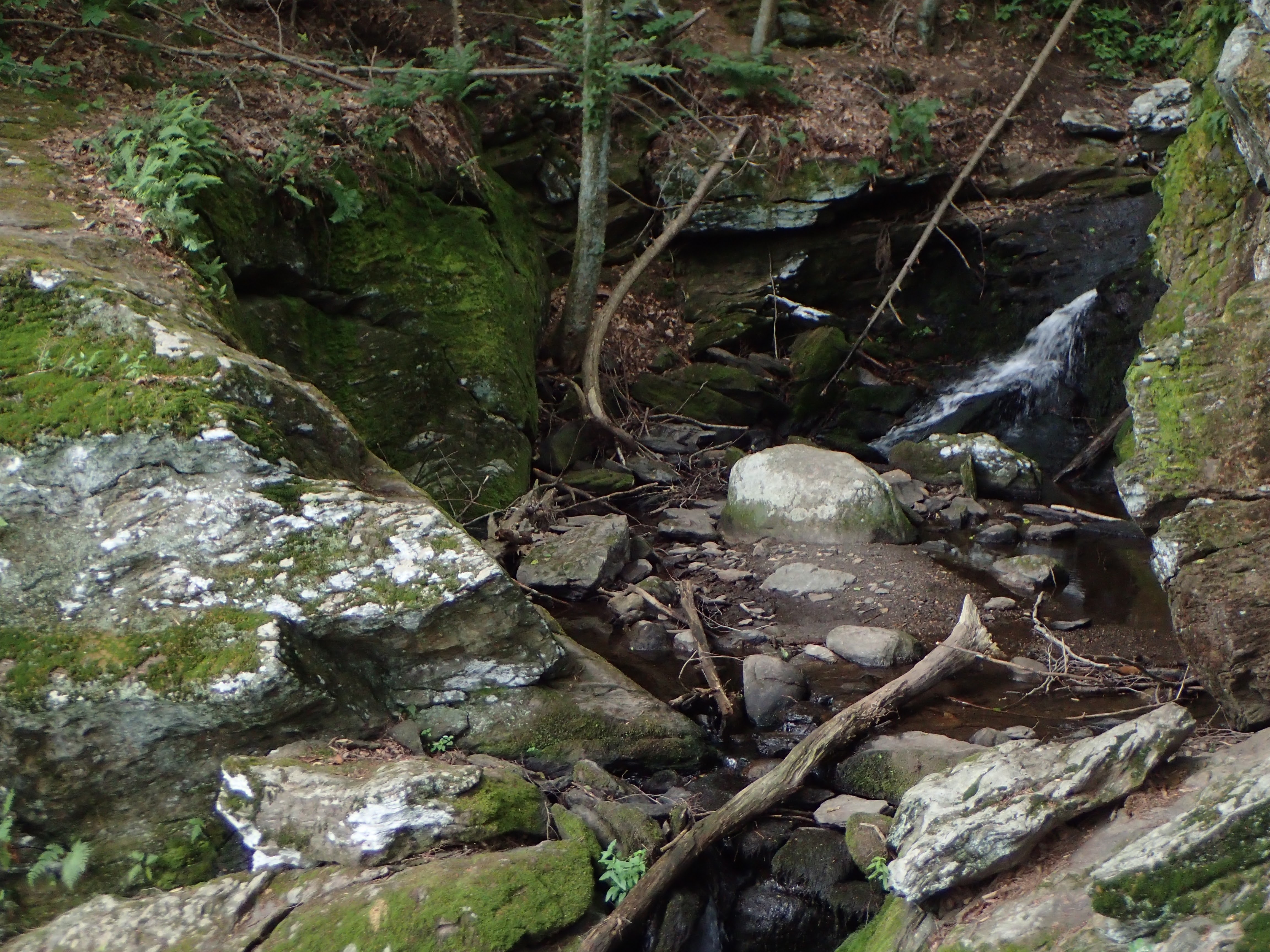
3. Near the northern end of the preserve, there was a cascade with the remains of a dam at the top of the cascade.
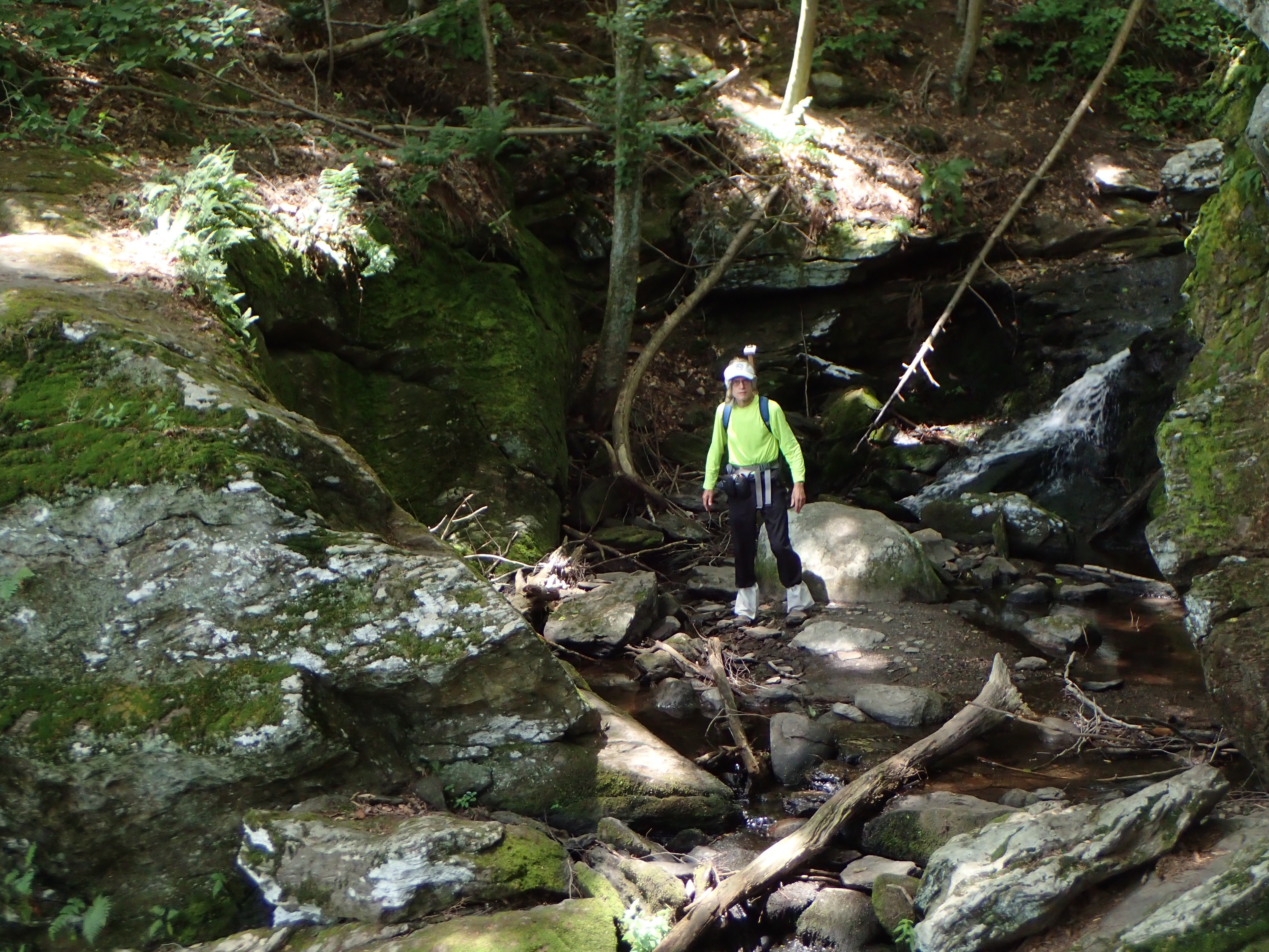
4 Note the curved cliffs.
4.
4.
5. A view of the ravine.
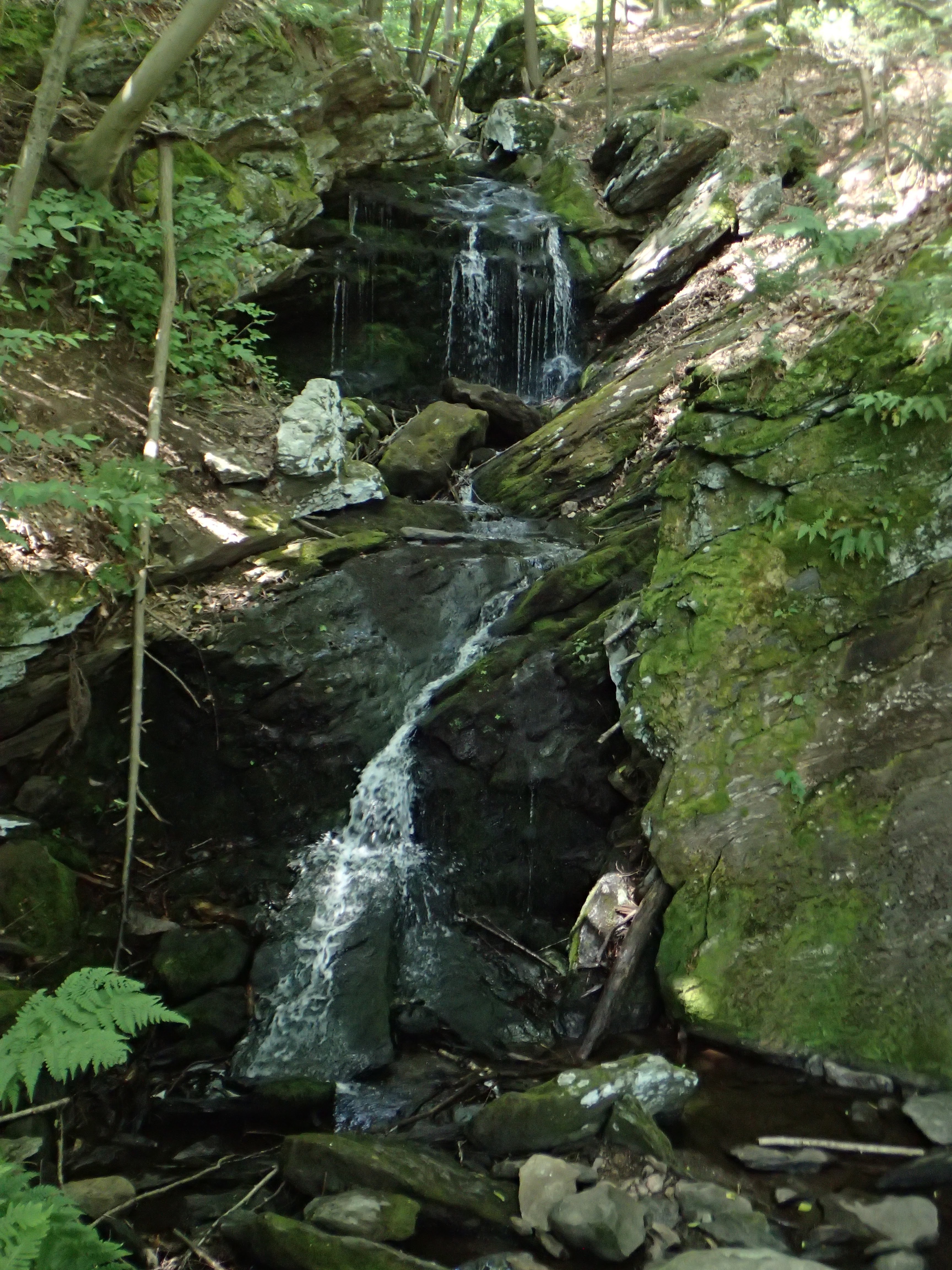
5. One of the many cascades in Bailey's Ravine. You can see curved rock walls underwater.
5. Note the swirling lines in the rock.
6. Cliffs that form the ravine.
7. Here you can see more curved cliffs.
8. This is from the west side of Bailey Brook, on the other side of the stream from 4.
9. Perhaps you could park here, and walk up the ravine, starting on the west side, and come back on white trail to the east of the brook for a quick exploration of Bailey's Ravine. I was there when the water was low --- walking the length of the ravine along the brook requires crossing Bailey Brook twice which was easy when I was there but might be difficult when there is more water flowing.
9. Bailey Brook flows into a private park.
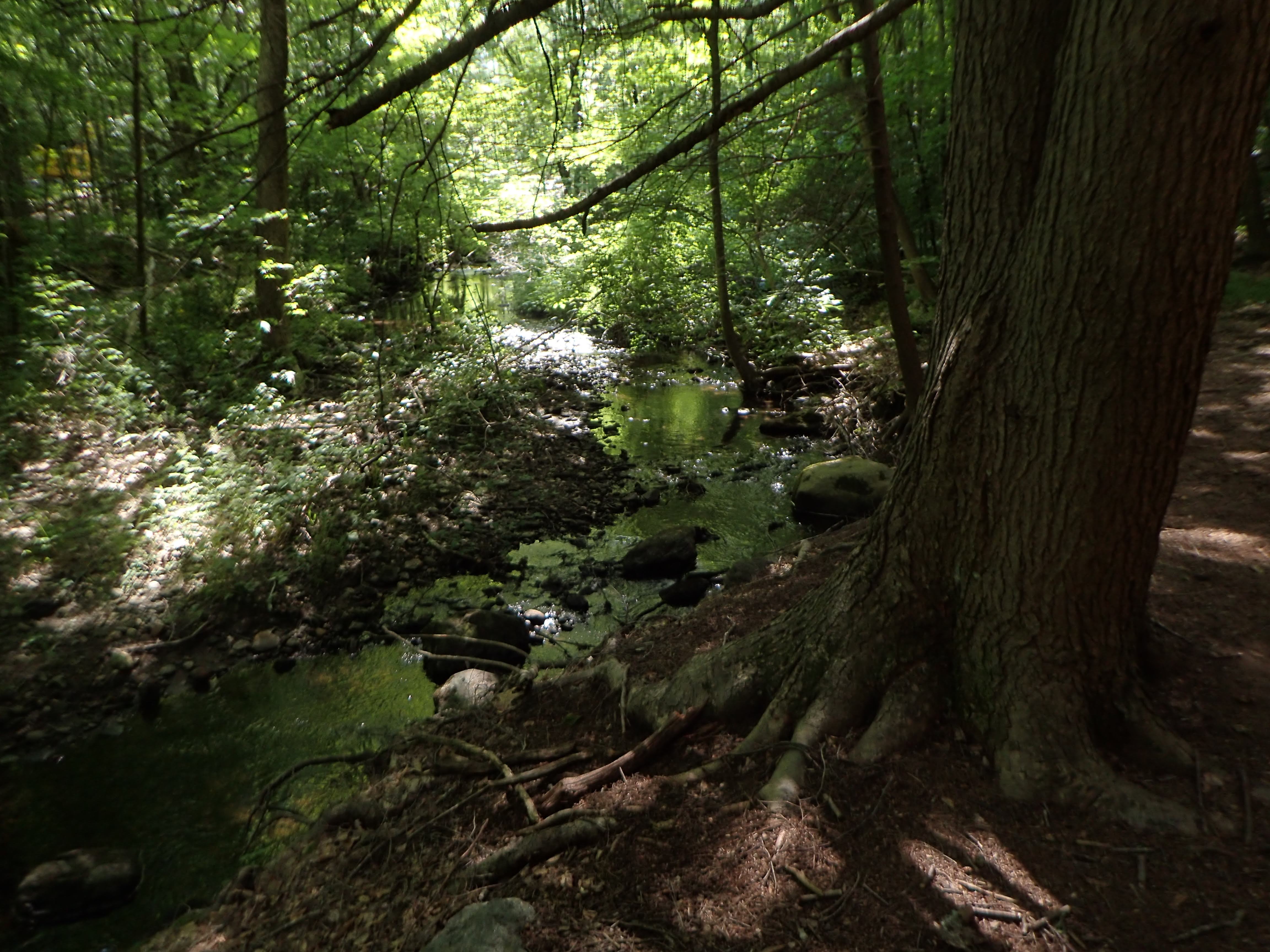
10. Beaver Brook, near where I parked. This is upstream from where Bailey Brook joins Beaver Brook.
David Reik


Comments
Post a Comment